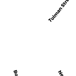
345345A NEPONSET AV
Owner Information
345 353 NEPONSET AVENUE LLC
17 HIGHGATE ST
ALLSTON, MA 02134

Property Details
345345A NEPONSET AV is classified as a Multiple Houses on one parcel (Colonial).
The primary structure on this property was built in 1899. This property is listed as having 14 rooms.
345345A NEPONSET AV is valued at $1,277,800. The land is valued at $0 and the structures are valued at $1,277,800.
The most recent deed for 345345A NEPONSET AV is recorded at the local registrar in Book 59633, Page 072. 345345A NEPONSET AV was last sold on Friday, May 25, 2018 for $1,350,000.
Assessment data from fiscal year 2020.
Flood Data
According to the FEMA National Flood Hazard Layer, this property does not appear to be in a flood zone. It may also be in an area not yet reviewed. Nonetheless, confirm this information prior to taking any action.
To view the flood hazards around this property, create a FEMA "Firmette" Map of the area around 345345A NEPONSET AV.
Broadband Internet Providers
| Provider | Type | Bandwidth (mbps) | |
|---|---|---|---|
| GCI Communication Corp. | Satellite | 0 | 0 |
| HughesNet | Satellite | 25 | 3 |
| Viasat Inc | Satellite | 100 | 3 |
| Verizon New England Inc. | DSL | 10 | 1 |
| Verizon New England Inc. | Fiber | 940 | 880 |
| Comcast | Cable | 1000 | 35 |
| VSAT Systems, LLC. | Satellite | 2 | 1 |
| RCN | Cable | 500 | 20 |
| RCN | Cable | 1000 | 20 |
| Starry, Inc. | Fixed Wireless | 200 | 200 |
| PAETEC Communications, Inc | DSL | 0 | 0 |
Broadband service provider data from December 2020.
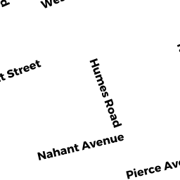
Adjacent Properties
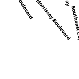
- 353 NEPONSET AV
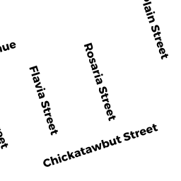
Mixed Use (Primarily Residential, some Commercial) owned by 345 353 NEPONSET AVENUE LLC - 21 CHICKATAWBUT ST
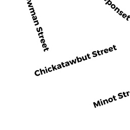
Other, Open Space owned by 21 CHICKATAWBUT STREET CONDOMINIUM TRUST - 21 CHICKATAWBUT ST 4
Residential Condominium owned by WINSON VICTORIA - 27 CHICKATAWBUT ST
Two-Family Residential owned by LEONIDO JOSEPH ETAL - 2826 BOWMAN ST
Other, Open Space owned by TWENTY 6 BOWMAN ST CONDO TR - 26 BOWMAN ST 1
Residential Condominium owned by GAFFNEY MEGHAN - 26 BOWMAN ST 2
Residential Condominium owned by PISHKIN RICHARD J - 2224 BOWMAN ST 24
Residential Condominium owned by MORRIS STEPHEN DAVID - 2422 BOWMAN ST
Other, Open Space owned by TWENTY-2 -24 BOWMAN ST CONDO - 2224 BOWMAN ST 22
Residential Condominium owned by MORRIS ALEXANDRA BLAKE - 1820 BOWMAN ST
Two-Family Residential owned by MEADE JAMES P - 337 NEPONSET AV
Recreation, Active Use (Charitable Org.) owned by BOSTONIAN FOUNDATION INC